Blog
3D Mouse for Drone Mapping and Terrain Review Workflows
Jul
Drone mapping and terrain review often involve moving through sites, slopes, structures, and map-based 3D scenes. A 3D mouse may help when you need smoother navigation during review or presentation, but mapping software support can vary widely.
That caveat matters. GIS, photogrammetry, browser maps, CAD terrain imports, and Google Earth style tools do not all treat input devices the same way. Test before building your workflow around any controller.
Terrain review is a navigation-heavy task
Terrain models are not always easy to inspect with a normal mouse. You may need to tilt across a slope, zoom into a feature, move along a road, compare elevations, or guide someone through a site boundary.
A 3D mouse can make those movements feel more continuous when the software supports it. That can help during review meetings because viewers see how one area relates to another instead of watching abrupt camera jumps.
It is especially helpful when the discussion moves from a whole site to one feature such as a slope break, access road, retaining edge, rooftop, or drainage path.
Google Earth and site presentations
Some users explore sites in Google Earth or similar 3D map environments before moving into CAD, GIS, or reporting tools. Smooth flying, tilting, and zooming can make a site presentation easier to follow.
If this is your use case, read using a 3D mouse with Google Earth and test your own route. Map navigation rewards slow, readable movement more than speed.
Check GIS and mapping support
Before buying for drone mapping, list your actual software: photogrammetry tools, GIS viewers, CAD imports, point-cloud viewers, browser platforms, or Google Earth. Confirm whether each one accepts the controller input you expect.
Also test file size. A heavy terrain model may stutter because of graphics load, not because of the 3D mouse. Compare a light site model and a real project file.
If the heavy file is slow, create a smaller presentation version for meetings. Navigation tools work best when the model itself can respond smoothly.
Use it for explanation, not measurement proof
A 3D mouse can help you navigate and explain terrain. It does not replace survey accuracy, processing quality, ground control, measurement tools, or professional judgment. Keep the controller in the presentation and inspection category.
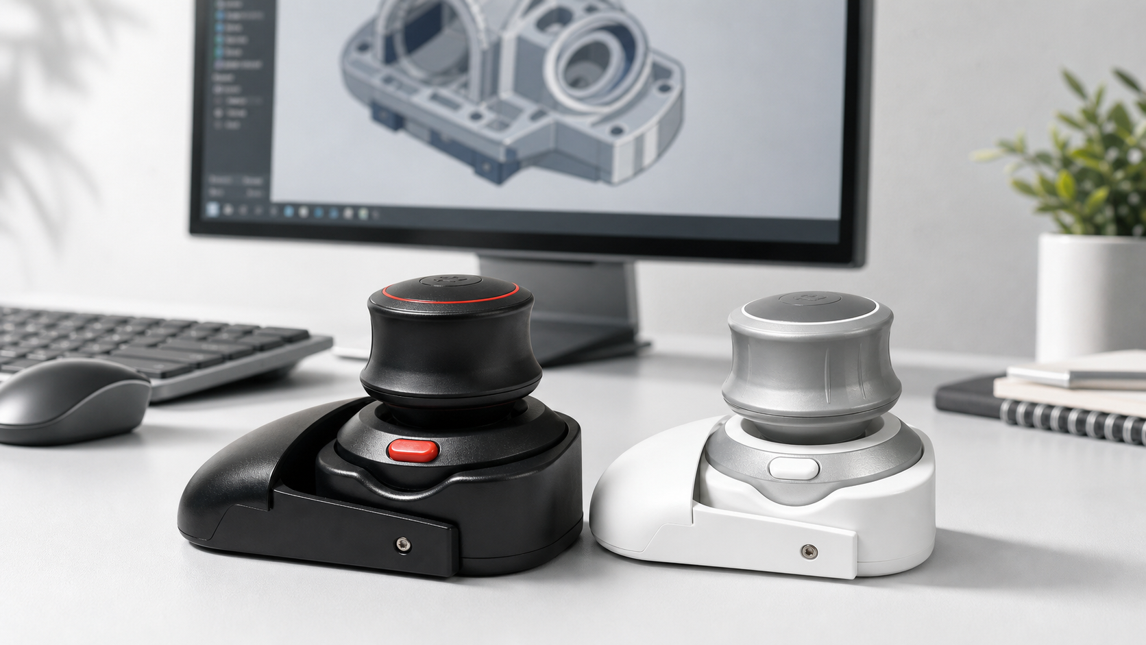
The Wireless 3D CAD Mouse can be tested for map-style and 3D scene navigation, but drone mapping users should verify software support carefully before treating it as a core field tool.
FAQ
Can a 3D mouse help with drone mapping?
It can help with navigation and presentation if your mapping or review software supports it.
Does it improve survey accuracy?
No. It is an input and navigation tool, not a measurement or processing tool.
What should mapping users test first?
Software support, file performance, Bluetooth reliability, and movement behavior in a real terrain model.
Is Google Earth a good test case?
It can be a useful navigation test, but it does not prove compatibility with every GIS or photogrammetry tool.
Bottom line
For drone mapping and terrain review, a 3D mouse is promising but software-dependent. Use it to improve navigation and presentation only after testing the exact tools and model sizes in your workflow.