Blog
Google Earth Classroom Activities With a 3D Mouse
Jul
Google Earth can turn a geography lesson into a shared spatial experience. Students are not only reading a map; they are flying over mountains, tilting into cities, rotating around landmarks, and seeing how terrain shapes human activity. A 3D mouse can support that classroom flow when the teacher wants smoother movement than a standard mouse provides.
The device is optional, not required. A good lesson matters more than hardware. But when the activity depends on guiding attention through a 3D place, smooth navigation can make the class feel less like watching someone wrestle with the map and more like following a guided tour.
Terrain exploration activities
Start with terrain. Ask students to follow a river valley, compare mountain slopes, or move from coast to inland elevation. Slow tilting helps students understand why a place looks flat in a simple map but becomes complex in 3D. The teacher can pause at each location and ask what the terrain might mean for travel, settlement, farming, or climate.
A useful exercise is “zoom out, predict, zoom in.” Begin from a wide region, ask students to predict what landforms they will see, then fly closer to test the prediction. The movement itself becomes part of the lesson.
City and landmark activities
City lessons work well too. Move from a regional view into a downtown core, then rotate around a landmark, bridge, harbor, stadium, or campus. Students can discuss street patterns, density, water access, public space, and how landmarks sit inside a larger urban context.
For landmark activities, keep the path simple. A slow approach, one rotation, and a return to the wider area is usually clearer than a long dramatic flight. That rhythm also connects to the broader Google Earth 3D mouse navigation workflow.
Presentation flow and classroom control
Smooth movement helps because students can stay oriented. Fast zooms and sudden spins make it harder to follow the lesson. The teacher should name the destination before moving, pause at important points, and use the movement to support the explanation rather than replace it.
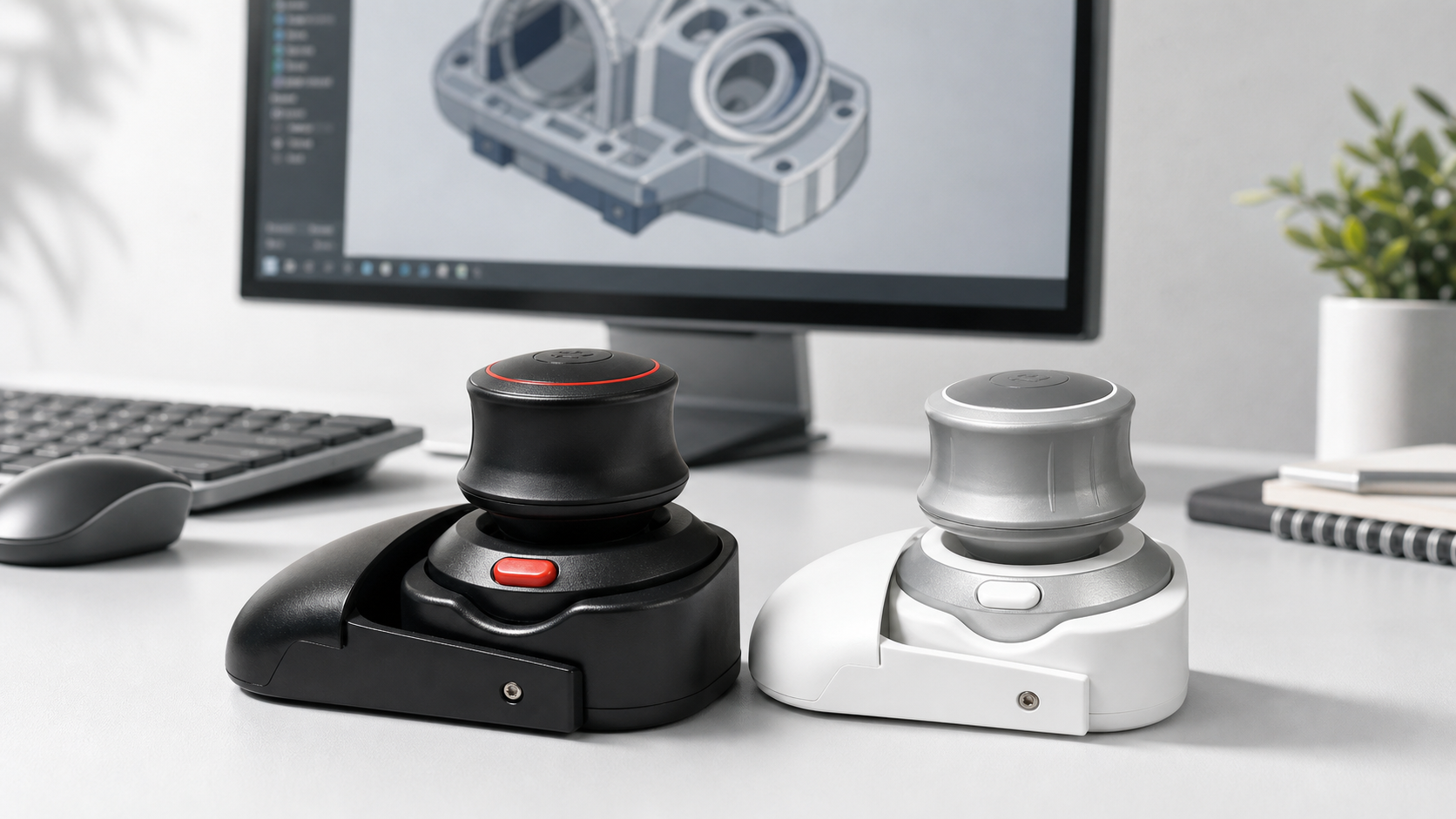
The Wireless 3D CAD Mouse can be treated as an optional teaching accessory for Google Earth style navigation. Because classrooms vary, test the exact computer, browser or app, projector, Bluetooth policy, and navigation behavior before using it in front of students.
Budget and durability
Most classrooms do not need one device per student. One teacher-controlled navigation device may be enough. If students will handle it, think about durability, storage, pairing, charging, and whether the learning gain justifies the extra hardware. For many schools, the best fit is a shared demo tool.
FAQ
Do students need their own 3D mouse?
Usually no. One teacher-controlled device can support presentations and guided exploration.
What activities work best?
Terrain flyovers, city context lessons, landmark rotations, river valley studies, and regional comparison exercises work well.
What should teachers test first?
Test the classroom computer, display setup, Google Earth version, Bluetooth rules, sensitivity, and charging routine.
Can it replace lesson planning?
No. It improves movement through the map, but the learning still comes from questions, context, and discussion.
Bottom line
A 3D mouse can make Google Earth classroom activities smoother when the lesson depends on spatial movement. Use it as a guided-tour accessory, not as the center of the class.